The world’s desert regions are far more biologically rich than they often appear. Home to rare species, fragile ecosystems, and ancient migratory patterns, deserts like those in California are delicate environments under increasing pressure from climate change and energy development. As sustainable planning becomes central to environmental strategy – particularly under initiatives like the Desert Renewable Energy Conservation Plan (DRECP) – there is a growing need for efficient, large-scale tools to monitor biodiversity.
Enter artificial intelligence (AI) and satellite-based remote sensing. These technologies are transforming how we study, protect, and plan for desert ecosystems by providing faster, more accurate, and scalable data collection. In this article, we explore how AI and satellite data are currently being used – and how they could revolutionize conservation in California’s desert landscapes and beyond.
Why Monitoring Desert Biodiversity Is So Challenging
Deserts are notoriously difficult environments for traditional ecological monitoring. Extreme temperatures, remote geography, and vast open spaces make frequent field visits costly, time-consuming, and logistically complex.
Furthermore, many desert species are elusive, nocturnal, or migratory, and their populations may fluctuate dramatically based on rainfall, temperature shifts, or seasonal food availability. This makes consistent, real-time data crucial for effective management – especially in regions where development of renewable energy infrastructure may intersect with critical wildlife habitat.
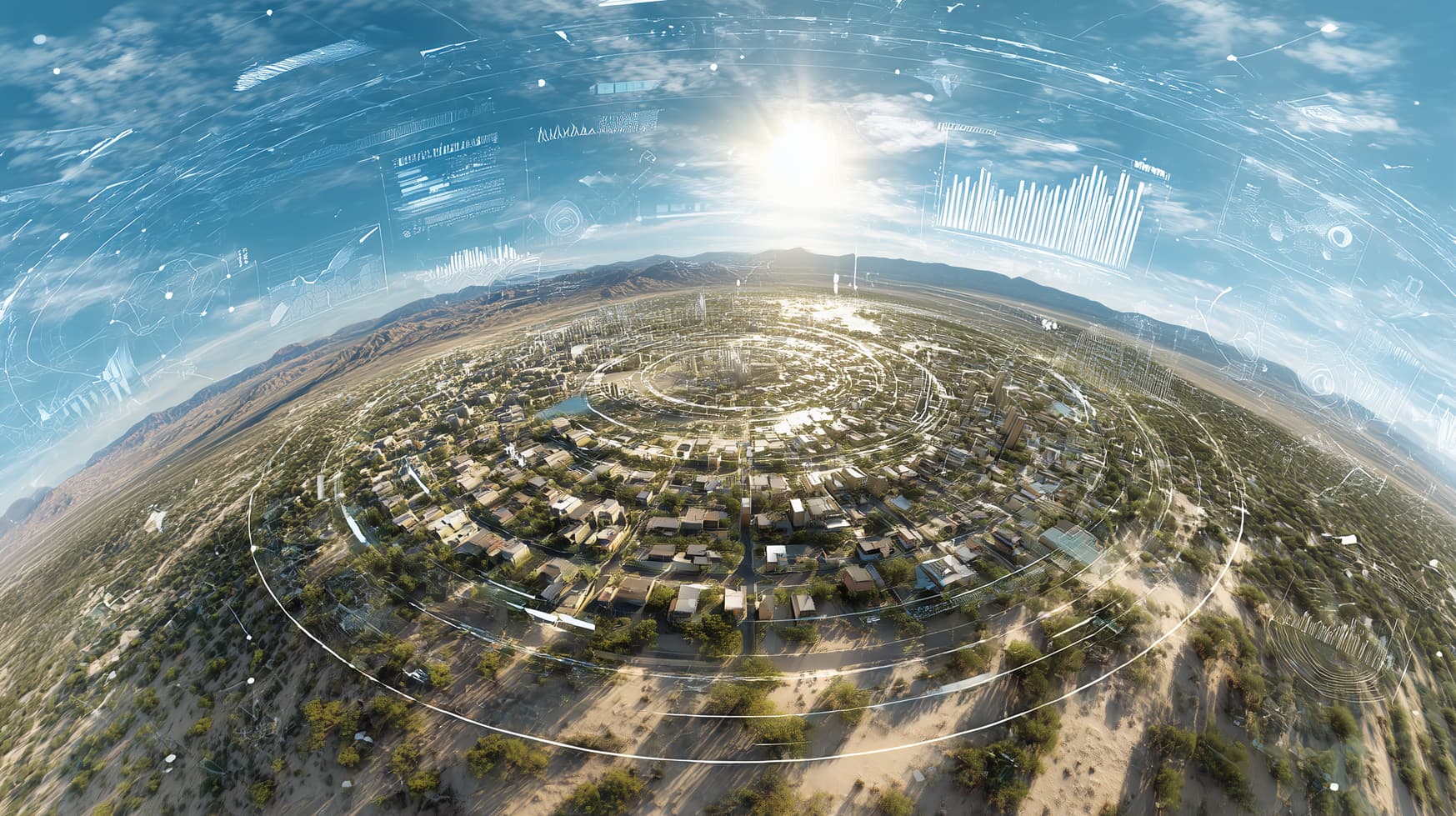
The Role of Satellite Remote Sensing
Satellites have long been used in environmental monitoring, but modern advances in high-resolution imagery, hyperspectral sensors, and thermal data have expanded their role significantly.
Key applications in desert biodiversity monitoring include:
- Vegetation mapping: Satellites track changes in plant cover over time, providing early indicators of habitat degradation, desertification, or invasive species spread.
- Wildlife habitat modeling: Remote data help identify suitable habitat zones for protected species, including desert tortoises, kit foxes, and burrowing owls.
- Drought and climate stress tracking: Monitoring shifts in soil moisture, surface temperature, and precipitation patterns reveals long-term ecological stressors.
- Human activity detection: Satellites detect new roads, construction, and other disruptions – vital for enforcement and planning under DRECP.
Programs like Landsat, Sentinel-2, and MODIS provide open-access data useful for broad-scale analysis, while commercial satellites offer ultra-high-resolution imaging suitable for species-level insights.
How AI Enhances Satellite Data
While satellite data offer powerful insights, they are vast, complex, and often difficult to interpret without help. That’s where artificial intelligence – particularly machine learning (ML) and computer vision – comes in.
AI enables researchers to:
- Classify land cover types (e.g., scrubland, dunes, grasslands) automatically across massive datasets;
- Identify patterns in habitat fragmentation or species movement by integrating imagery with ecological data;
- Predict future ecological changes using time-series data and neural networks;
- Process drone and camera trap data using image recognition to identify species or detect animal movement.
For example, AI models can be trained to detect signs of desert tortoise burrows from aerial images or to distinguish between native and invasive vegetation. These capabilities allow for continuous, automated monitoring that surpasses human ability in both scale and speed.
Case Study: California Desert Tortoise Tracking
One promising application of AI and satellite synergy is in the monitoring of the Mojave desert tortoise (Gopherus agassizii), a threatened species protected under the Endangered Species Act.
Traditionally, locating tortoise burrows requires labor-intensive field surveys. But recent pilot projects have trained convolutional neural networks (CNNs) to analyze drone footage and satellite imagery to detect burrow structures based on shape, shade, and thermal signatures.
This method not only improves population mapping accuracy but also reduces stress on animals and minimizes habitat disruption – aligning well with DRECP conservation guidelines.
Integrating Data Across Platforms
Another strength of AI-powered biodiversity monitoring is its ability to integrate multiple data sources. A single model might combine:
- Satellite imagery (vegetation, terrain)
- Drone footage
- Climate sensor networks (ground temperature, humidity)
- Acoustic sensors (bird or bat calls)
- Field observations from biologists
By feeding all this into a unified system, conservation planners can generate dynamic maps, risk assessments, and habitat suitability models that reflect both current and predicted conditions.
Such integration is already helping to identify climate refugia – areas that may remain hospitable to sensitive species as the climate changes – and to assess the ecological trade-offs of proposed solar or wind installations.
Ethical and Technical Considerations
Despite its promise, this technology-driven approach is not without challenges:
- Bias in training data can skew predictions if models are trained only on certain regions or species;
- Limited satellite resolution may prevent accurate tracking of smaller species or features;
- Data privacy and land-use rights must be respected, especially in areas shared with Indigenous communities;
- Algorithm transparency is essential to ensure decisions are understandable and can be challenged if necessary.
These concerns highlight the need for interdisciplinary collaboration between data scientists, ecologists, policymakers, and local stakeholders.
Policy Implications and the Role of DRECP
The DRECP offers a unique framework for applying AI and satellite monitoring at scale. As the plan evolves – especially in Phase II, which involves local and private lands – remote data and intelligent models will be essential tools for balancing energy development with ecological protection.
Incorporating this data into permitting, impact assessment, and long-term stewardship plans will enhance transparency, efficiency, and compliance. Moreover, continuous monitoring supports adaptive management – the ability to respond quickly to unexpected changes or threats in the desert ecosystem.
Conclusion: A Smarter Future for Desert Conservation
In 2025 and beyond, AI and satellite technologies are not just optional tools – they are becoming essential to responsible environmental stewardship. In desert regions, where fragile ecosystems meet growing development pressure, these innovations offer a way to see more, understand more, and act faster than ever before.
For initiatives like DRECP, this means smarter planning, stronger protections, and a better-informed public. For wildlife and habitats, it means a fighting chance in the face of accelerating change.
As we build the clean energy future, these technologies ensure that we don’t lose the natural richness of our deserts along the way.